

Artist Kim Cogan is one of my favorite fine artists. His painterly depictions of Brooklyn, San Francisco and other urban centers capture the grit of city life with an elegance and loneliness that stirs the soul. The large scale oil paintings feature rooftops, intersections, subways and other elements of the city, but usually devoid of people. When rendering figures, they are not engaged with others, but instead in the acts of the ordinary (smoking, walking, biking) making the viewer feel like a voyeur in these intimate moments of the mundane.

above left: Kim Cogan at work on Manhattan Bridge in Fog and above right, American Dream, his latest painting (2012) for the Resolve Show at Joshua Liner Gallery
His painterly style simultaneously conveys energy along with a certain calm. The vacant midnight moments and late night neon sign stores portray the fact that cities never sleep, even when people do.
Recent works (2011):
Stop at Lorimar:

Spot Lite:

Paradise Deli:

Mission Intersection at Midnight:

Mission Intersection at Midnight (detail):

Night Rider and Dark Corner:


Open Late:

Third Rail:

Williamsburg at Midnight:

Passengers:

Contortionists:

Brooklyn Rooftops:

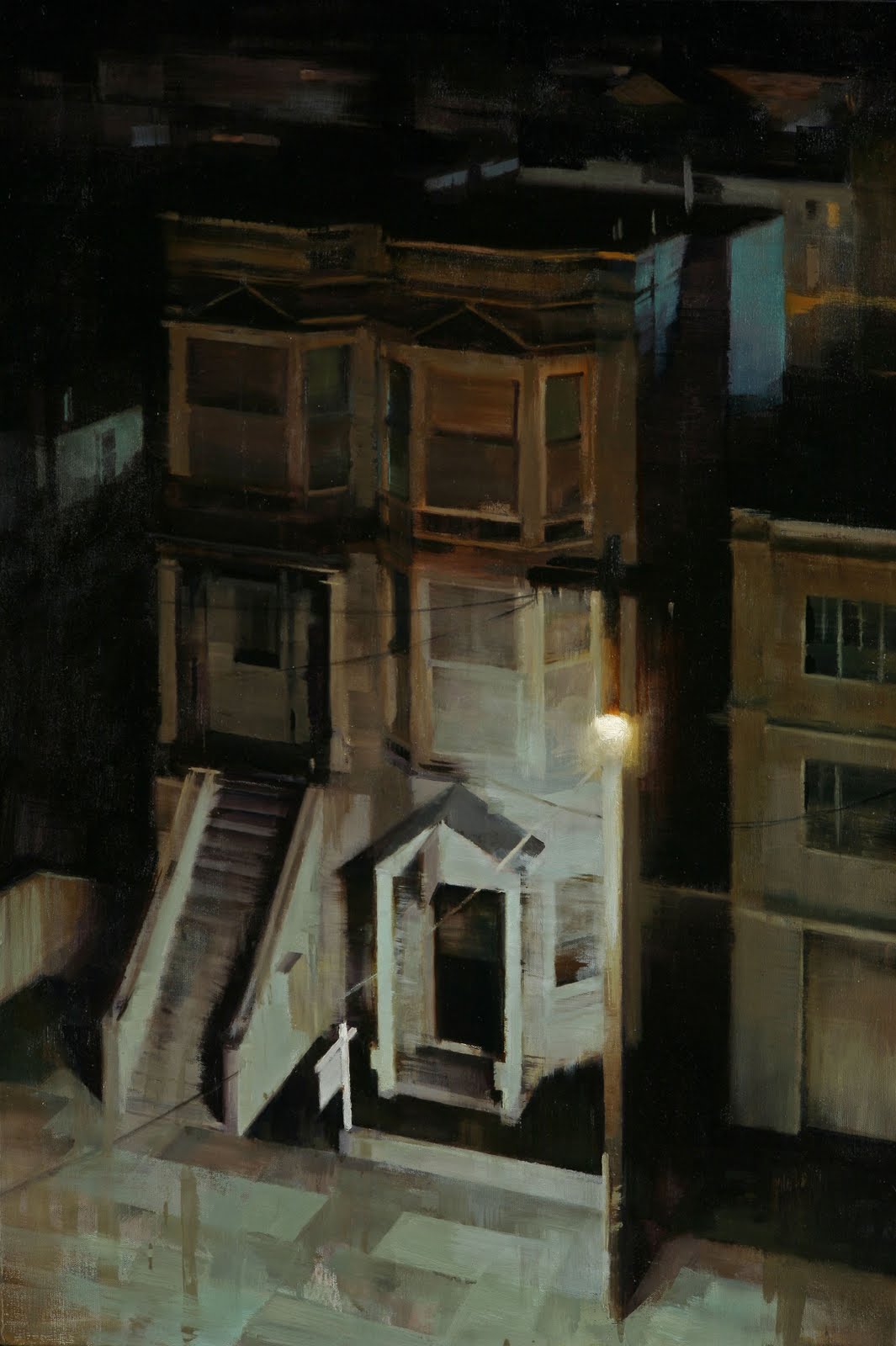
Small View:

Manhattan Bridge with Fog:

Bronx River Crossing:

Lower East Side Rooftops:

Rooftops in Brooklyn:
Late Afternoon:

Sunset:

Earlier works (2009-2010)
Last Chapter:

Smoke and Garden of Eden:


Sweet tooth:
 :
:Nick's Luncheonette:

Grey Day:

He shared a look at his process here on his blog.
And in this video, a demonstration of his painting process: Mission Intersection At Midnight. The painting took over 3 months to complete.:
The artist's site
Art Prints: www.827ink.com
Kim Cogan is represented by Gallery Henoch and the Hespe Gallery


